Traditional Owners Of The Kimberley Coast
Balanggarra
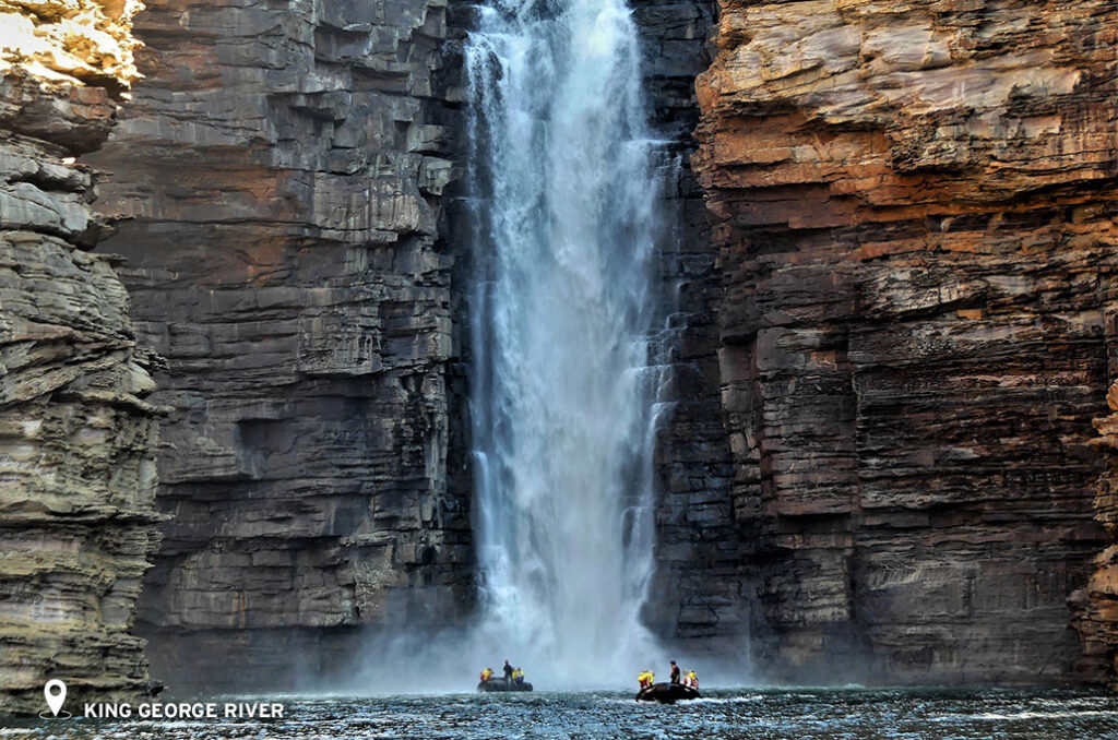
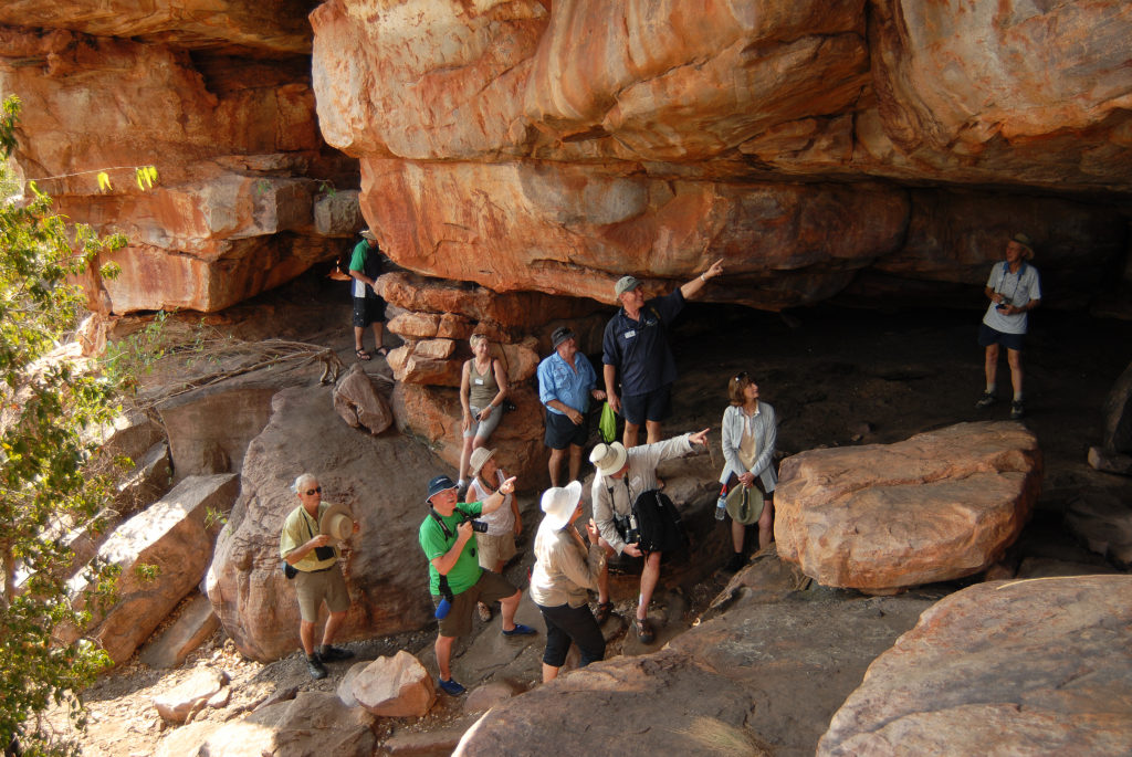
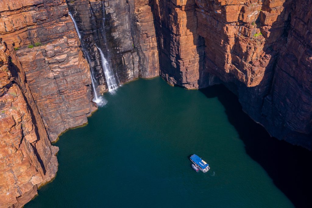
The Balanggarra people, whose native title area covers over 30,343 square kilometers of land in the north Kimberley, including various locations such as the Wyndham township, Kalumburu, Oombulgurri, and Forrest River Aboriginal reserves, Carson River pastoral lease, parts of the Drysdale River National Park, and unallocated Crown land at Cape Londonderry, Carson River, and the Cambridge Gulf Coast, believe that the creator being of the dreamings bestowed the laws and responsibilities of looking after the land to the Indigenous peoples. The Balanggarra Aboriginal Corporation RNTBC oversees the land on behalf of and protects the native title rights and interests of the Balanggarra people. Balanggarra country is also the location of the oldest known rock painting, dating back 17,000 years. This painting, located on the wall of a rock shelter, depicts a kangaroo and was determined to be 17,000 years old in a joint effort between the Traditional Owners and the University of Western Australia, using radiocarbon dating on mud wasp nests located over and under sixteen similar paintings. The major attractions in this area are the King George Falls , known as Oomari in the Balanggarra language, and other places such as the K King George River and occasionally the Berkeley River.

Uunguu (Wunambal Gaambera)
Uunguu translates to ‘our living home’.
On the other hand, the Uunguu, which translates to ‘our living home’, covers 25,909 square kilometers of land and saltwater. The Wunambal Gaambera Aboriginal Corporation manages the administrative and business affairs of the Wunambal Gaambera people, while the Wanjina-Wunggurr (Native Title) Aboriginal Corporation RNTBC manages the native title rights and interests on behalf of the Uunguu, Dambimangari, and Wilinggin native title holders. The Uunguu determination area is associated with the Wunambal and Gaambera language groups, and it is part of the wider Wanjina Wunggurr cultural bloc that also includes the Dambimangari and Wilinggin native title determinations. The first people to mix with the ancestors from this land were the Indonesian Makassan fishermen about two hundred years ago when they would visit annually in traditional outrigger boats. On their visits, they would set up camp on the coast to collect trepang from the reefs before sailing back to their home. The Uunguu gained knowledge and materials from the visitors, including improved canoe design and iron for implements. European exploration of the land started in the 1900s, with a notable settlement located at Vansittart Bay. During this time, the Wanjina Wunggurr people gained some work and experiences and traded trepang and dingo pelts for supplies from this settlement. The major attractions in the Uunguu area include Njula (Jar Island), Punamii-Uunpuu (Mitchell Falls), Banjal (Vansittart Bay) & the Anjo Peninsula, Warrabii (Swift Bay), Wuuyuru (Bigge Island), and Wunbung-gu (Careening Bay).

Dambimangari
Dambimangari translates to ‘belonging to homeland’.
Dambimangari covers 27,932 square kilometers of country renowned for its natural, cultural, and heritage values. The Dambimangari native title area stretches from King Sound, Camden Sound, and Montgomery Reef across the islands of the Buccaneer Archipelago through to Hall Point and Horizontal Falls. The Dambimangari Aboriginal Corporation manages the administrative and business affairs of the Dambimangari people, while the Wanjina-Wunggurr (Native Title) Aboriginal Corporation RNTBC manages the native title rights and interests on behalf of the Dambimangari, Wilinggin, and Uunguu native title holders. The Dambimangari community population is around 1000 people.
Dambimangari country is a significant area of international conservation. The area hosts over 3,000 kilometres of Australia’s coastline featuring low beaches that are home to critical sea turtle populations and vivid sandstone cliffs that plummet into the ocean. It is the only region in Australia that has seen no extinction in wildlife since European settlement – making it the stronghold for rare wildlife it is today. Some of these threatened species no longer found in other parts of Western Australia include the Northern Quoll, the Golden Bandicoot, and the Golden-backed Tree Rat. More species endemic to the land are the Wyula (Scaly-tailed Possum), the Black Grasswren and the Kimberley Honeyeater.
Key locations we visit in this area include Montgomery Reef, Crocodile Creek, Nares Point, Talbot Bay & Horizontal Falls, Ruby Falls and Little Ruby Falls, Raft Point (Ngumbirri), Freshwater Cove (Wijingarra Bard Bard), Langgi, Hanover Bay, and Camp Creek.

Mayala
The name “Mayala” is derived from the spinifex grass that thrives on the islands.
The Mayala native title determination encompasses hundreds of islands, interconnected seas, and associated reefs in the Buccaneer Archipelago, situated north of Derby. The area spans approximately 132 square kilometers of land and 3,668 square kilometers of sea. The islands remain mostly untouched and, as a result, are abundant in biodiversity, with very few introduced animals and weeds, making it a refuge for endangered native species. Among the vulnerable animals that inhabit the Mayala country are the Northern Quoll, dugong, and five species of marine turtles.
The Mayala people have inherited the responsibility of caring for the land and the life it supports from their ancestors. They possess intricate knowledge of the area’s complex currents and tides, referred to as the loo and noomoorr. The culture of the Mayala people is timeless, rooted in the stewardship of the country through cultural traditions passed down from milonjoon (ancestors). Numerous sacred sites for ceremonial and traditional purposes are scattered across the Mayala country, reflecting the thousands of years the people have spent living on the land.
Key locations which we visit within the Mayala area include Hidden Island and Silica Beach.

Bardi Jawi
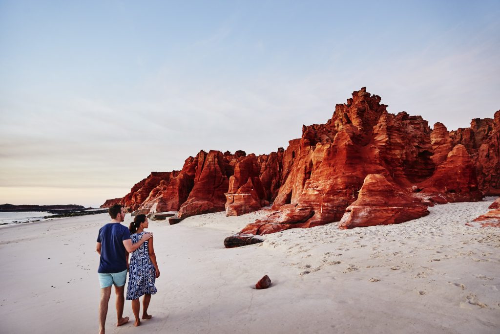
The Bardi Jawi native title claim encompasses 1,037 square kilometers of land and sea on the Dampier Peninsula. The Bardi and Jawi Niimidiman Aboriginal Corporation RNTBC manages the native title rights and interests on behalf of the Bardi and Jawi people. The Bardi and Jawi people are two distinct groups who share the same beliefs and laws and live on the mainland peninsula. The land is managed by rangers who work to conserve populations of dugongs and turtles native to the area, using traditional ecological knowledge alongside collaborative research. In 2007, the group received government funding as part of the Working on Country program, which enhanced their capacity to perform important work on the land, earning them the esteemed Banksia Environment Award in 2008. The area holds high conservation value due to its cultural and environmental significance and biodiversity. It is a natural habitat for native garrabal (seabird) and is home to a variety of species including Gouldian Finches, Yellow Wagtails, Oriental Cuckoos, Peregrine Falcons, Chestnut-backed Button Quails, and Bush Turkeys. Occasionally, voyages visit Cape Leveque, which is within this area.

Wilinggin
The Wilinggin Indigenous Protected Area encompasses both northern and central Kimberley land and is the traditional territory of the Ngarinyin people. The Ngarinyin people consist of approximately 60 clans belonging to four larger nations: Arawarri Nyawngara, Walinjara Burri, Werangarri Nyuwelngana, and Wurlajaru Marrangarna. The Wilinggin Aboriginal Corporation manages the business affairs of the Wilinggin people, while the Wanjina-Wunggurr (Native Title) Aboriginal Corporation RNTBC manages the native title rights and interests on behalf of Wilinggin, Dambimangari, and Uunguu native title holders. The Wilinggin native title determination area is situated in the heart of the Kimberley along the iconic Gibb River Road and covers more than 60,150 square kilometers – an area the size of Tasmania. This diverse land features sandstone ranges and gorges, rivers and saltwater areas, lowland savannahs, and pockets of rainforest. It also contains cultural sites and rock art of historical and cultural significance. This area borders onto Prince Frederick Harbour, which is a destination we often visit.

Yawuru
The Yawuru people hold the native title for the area across Rubibi (Broome) and its surrounding land and waters, covering 5,298 square kilometers from Bangarangara in the south to Wirrjinmirr (Willie Creek) in the north, and from Roebuck Plains in the east. The Yawuru Native Title Holders Aboriginal Corporation RNTBC manages the native title rights and interests of the Yawuru people. Broome has a population of around 15,000 people and attracts more than 35,000 visitors annually as a popular holiday destination. The Yawuru people prioritize positive wellbeing linked to the environment, with their philosophy of mabu liyan (good spirit) influencing their holistic understanding. The Yawuru Cultural Management Plan (YCMP) is an award-winning benchmark of excellence in Aboriginal land management design. The Yawuru conservation estate includes a 100-kilometer-long coastal park managed for conservation and biodiversity. Broome is a departure and arrival point for our exploration cruises that visit these beautiful locations. Australia is privileged to have culturally rich and biodiverse lands, and if you’d like to experience these locations yourself, now is the time to book one of our exploration cruises, including our iconic Kimberley voyages and Across the Top departures.
We are privileged in Australia to have lands rich in culture and biodiversity. If you would like to experience these beautiful locations for yourself, now is the time to book your next adventure on one of our exploration cruises that visit the places mentioned on this page. See our iconic Kimberley voyages and our Across the Top departures.


